Modern Survey Techniques
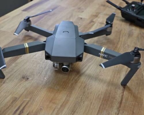
When scoping locations for their “Village Supplier” water towers and water systems, Aqua-Africa often uses drone technology to construct their survey maps. Maps produced include elevation details that help the organization select the best tower locations and water distribution points. Aqua-Africa seeks to minimize water collection times by building water distribution points that are in close proximity to residents.